Greetings fellow dwellers of the wastes!
It’s been a while since we posted anything from the Pristine Tower Development group. But silence does not mean we have not been busy.
Today I want to share with you the first release from a project particularly dear to my heart – the updating of the Athasian Cartographer’s Guild’s maps!
Since I was lured back into Dark Sun by the ACG’s magnificent map series, I’ve discovered this site has been a major touchstone of the Dark Sun community for over 20 years, and it seems to have inspired subsequent generations of mapmakers and lore writers to expound upon the many mysteries it created.
Working together with the site’s owner @Greyorm himself as well as our own wonderful mapmaking team, we’ve started updating both the website and all of the map tiles therein (lovingly crafted in zoomable vector graphics by the extraordinary @Avangion). After many long months of work, we’re finally ready to release the first maps for you in the community to try out:
In the link below you can now find .png and zoomable .pdf files of the newest versions of the ACG world map tiles.
https://drive.google.com/drive/u/0/folders/1nWTVE1po_1kqpwRztHEUgMRoHwdpFRYb
These are but the first of many.
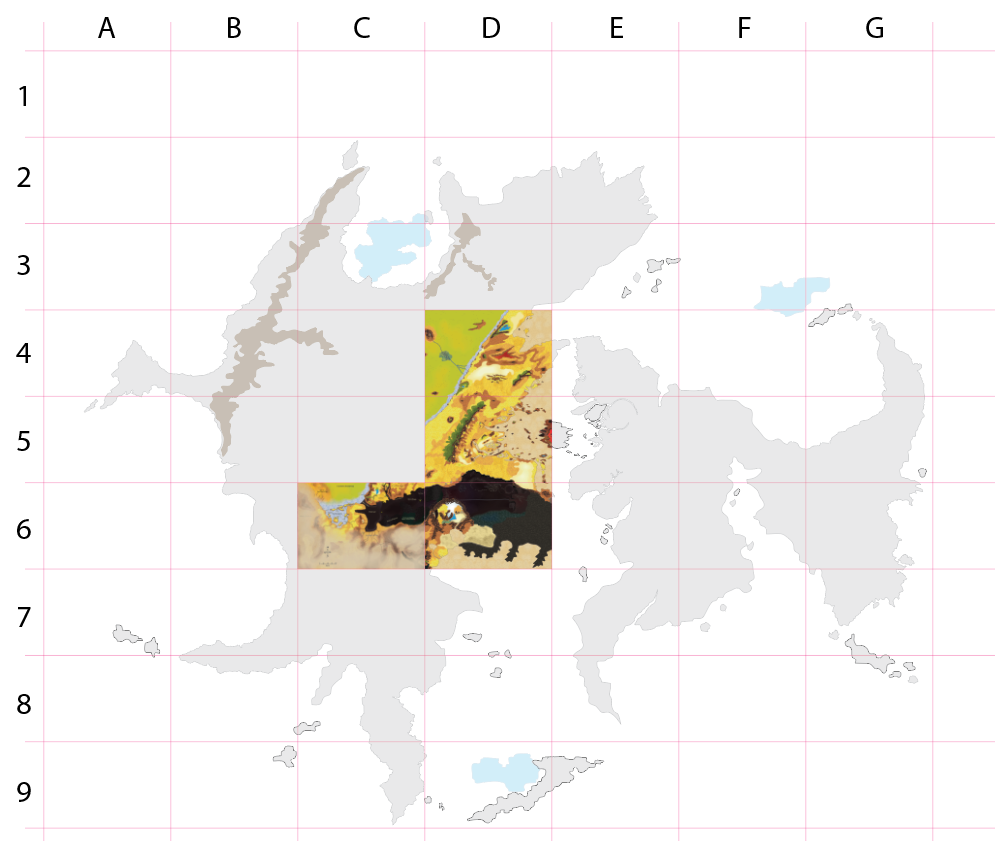
The locations of these first three map tiles in the folder are indicated on the continental outline map also included, which depicts both the Pristine Continent (which the lore team at the Pristine Tower Dev Group have since dubbed Uran) and its neighbouring continent Anattan.
Of course, the only reason we do this is to make your own gaming experiences better. So your own feedback on these creations is important. We welcome any questions, comments, or suggestions.
With your help in the community as well as our own diligent comparisons of all available maps we have been able to find, we are aiming to assemble as close to a definitive world map for Athas as possible, incorporating both canon as well as popular fanon from all editions.
Enjoy an ever widening view of the world!